Alternatives to the ‘Antarctic ice wall’
Everyone loves the azimuthal equidistant projection; some just don’t yet realise it. For that latter camp, a quick refresher: azimuthal equidistant maps show all courses from the centre point at the appropriate angle and with correct scale – a ray from the centre to any point shows the initial bearing and length of the direct route to that point. The azimuthal equidistant projection, which unfortunately lacks a more concise name (‘Postel’?), is quite popular with some rather diverse groups, including the contemporary ‘zero-Gaussian-curvature Earth’[1] crowd. Perhaps more perplexing than this movement’s modern resurgence, is their insistance on the north polar aspect of the azimuthal equidistant projection being not some ‘projection’ but the true representation of world geography.
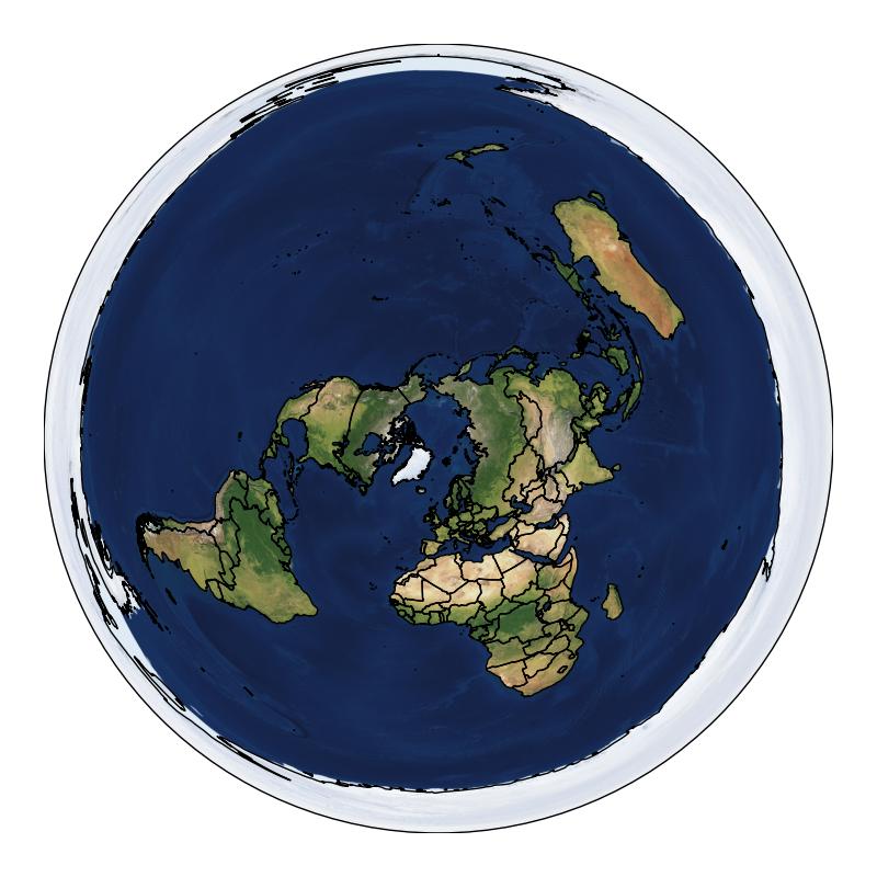
Official and accurate map of the entire world.
Some evidence or, perhaps, counter-disevidence for this zenithal aspect is that Antarctica is shown as a continuous ring around the entire periphery, neatly resolving historical concerns over the lack of safety fencing, and assuring the long-term fate of the oceans (And the atmosflat? It’s probably not important.). Even then, a stereographic map would be markedly superior – not only is it conformal,[2] but it doesn’t have a perimeter; the map just extends forever!
But even accepting the azimuthal equidistant depiction, what’s so special about Antarctica? Any other landmass could hold back the oceans. For example, the other ice wall:
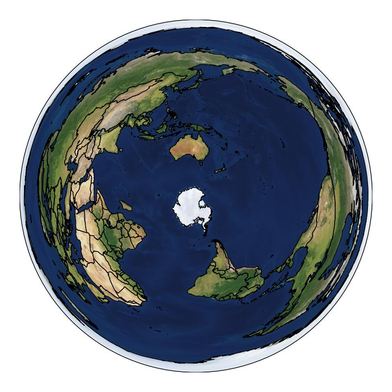
Why not have as thick a border of land as possible?
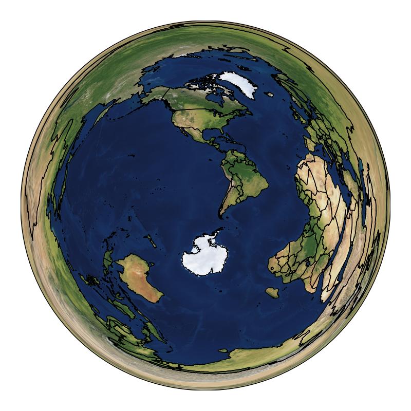
Who’s to say the world isn’t bounded by the indomitable Kilimanjaro?
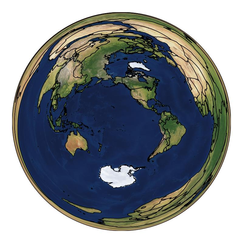
Or a vast ring of Mont Blanc?
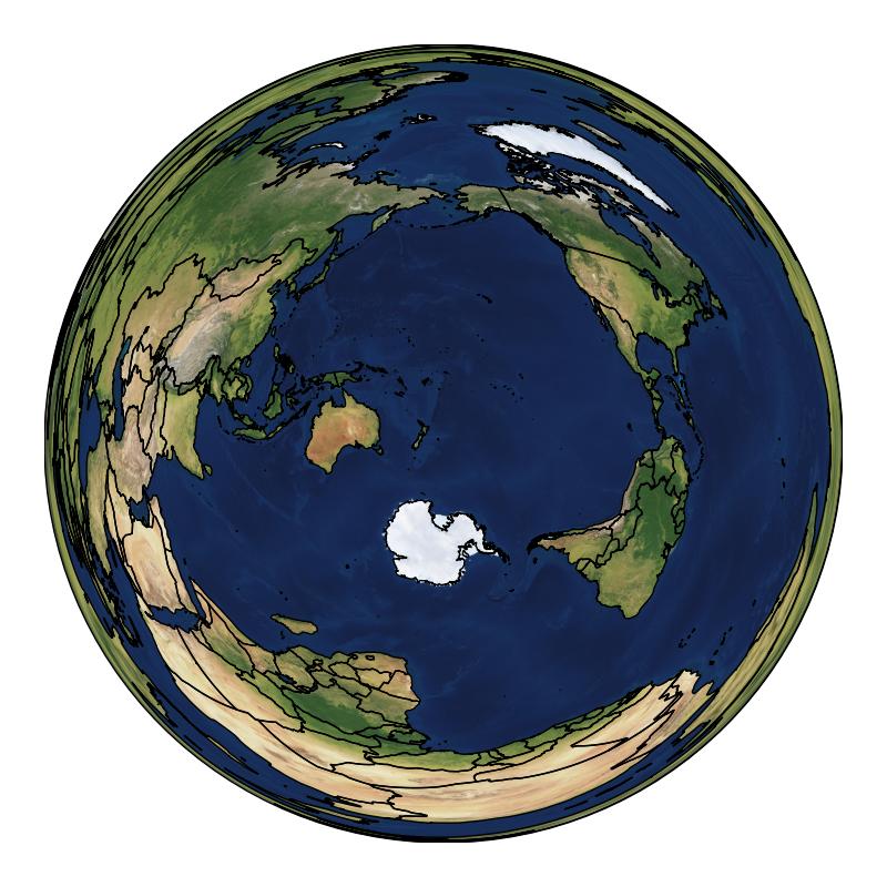
Perhaps an immense circumferential desert culminates in the imposing cliff face of Uluru?
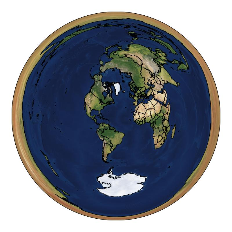
The vast expanse of the Amazon still hides untold secrets. Maybe somewhere deep within it resides the literal end of the world.
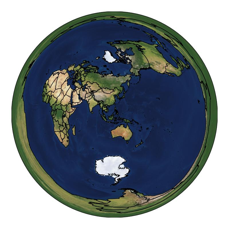
Always aspire to keep a mind as open as the surface topology of the planet. It’s far easier than a rudimentary understanding of astronomy.